AFTER VISITING THE LAKES SURROUNDING BANFF WE NOTICED A FEW MILES FURTHER NORTH WAS THE BRITISH COLUMBIAN ICEFIELDS . WE DECIDED TO GIVE IT A LOOK NOT KNOWING JUST WHAT AWE INSPIRING SCENERY WE WERE ABOUT TO WITNESS.
Panorama View : On the Icefield parkway to the Columbian Icefields
The Columbia Icefield is located on Canada’s most scenic mountain roadway; The Icefields Parkway. This is the route to over one hundred visible glaciers, turquoise lakes,
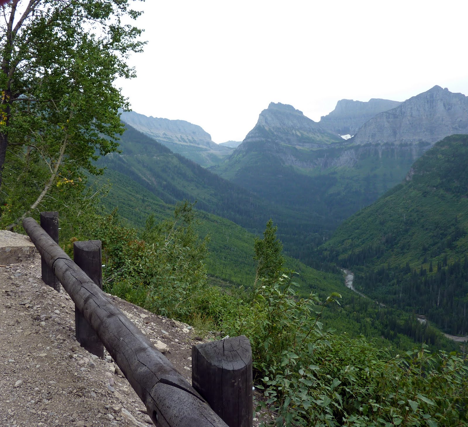
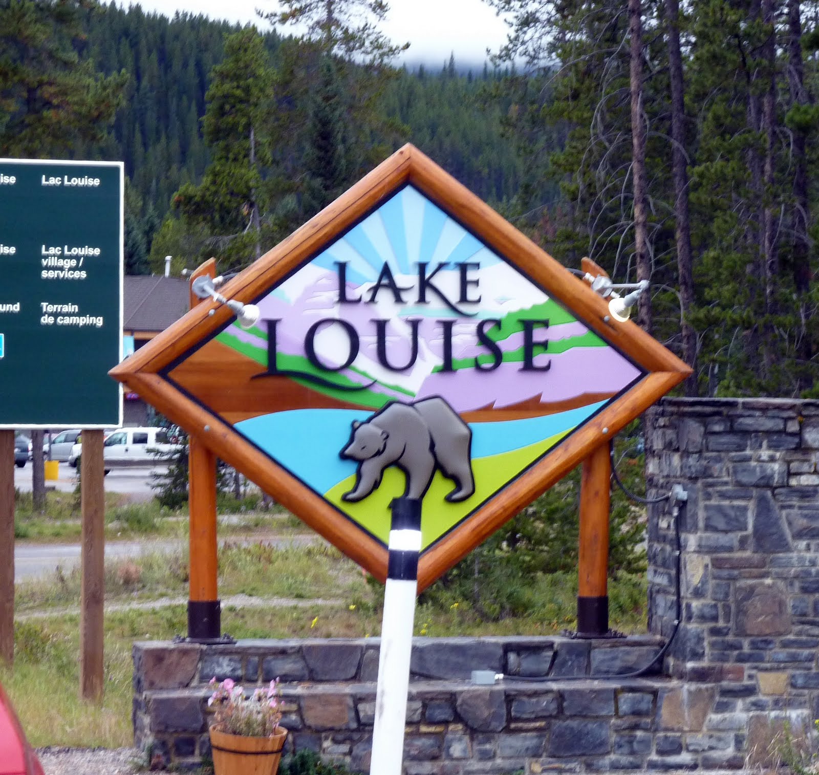
Considered one of the most scenic highways in the world, the Icefields Parkway , alpine meadows and snow-capped peaks. For two hundred and thirty kilometres, from Lake Louise to the Jasper townsite, the Parkway winds along the shoulder of the Great Divide and passes by the spectacular mountains of the Eastern Main Ranges of the Canadian Rockies. It follows the headwaters of three major rivers and crosses two major passes en route.

.jpg)
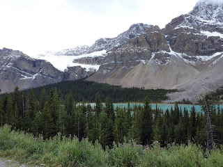.jpg) The Crowfoot Glacier is an awesome sight and rates as one of the area's top attractions. Many years ago, this famous glacier had three distinctive claw-like structures, although one has since worn away. The Crowfoot Glacier can be found on the way to Peyto Lake, from Lake Louise.
The Crowfoot Glacier is an awesome sight and rates as one of the area's top attractions. Many years ago, this famous glacier had three distinctive claw-like structures, although one has since worn away. The Crowfoot Glacier can be found on the way to Peyto Lake, from Lake Louise. panoramic view
Peyto Lake seen here from Bow Summit photos have NOT been computor enhanced.
The rock flour from a glacier 'left' seeping into Peyto Lake that gives it its vibrant colour.
During the summer, significant amounts of glacial rock flour flow into the lake, and these suspended rock particles give the lake a bright, turquoise color. Because of its bright color, photos of the lake often appear in illustrated books, and area around the lake is a popular sightseeing spot for tourists in the park. The lake is best seen here from Bow Summit, the highest point on the Icefield Parkway.
The bluest lake in the Rockies 'Peyto Lake'


.jpg)



.jpg)






.jpg)

.jpg)
.jpg) The Crowfoot Glacier is an awesome sight and rates as one of the area's top attractions. Many years ago, this famous glacier had three distinctive claw-like structures, although one has since worn away. The Crowfoot Glacier can be found on the way to Peyto Lake, from Lake Louise.
The Crowfoot Glacier is an awesome sight and rates as one of the area's top attractions. Many years ago, this famous glacier had three distinctive claw-like structures, although one has since worn away. The Crowfoot Glacier can be found on the way to Peyto Lake, from Lake Louise..jpg)

.jpg)

.jpg)
.jpg)
.jpg)
 panoramic view

.jpg)
.jpg)
.jpg)




.jpg)
.jpg)
.jpg)
.jpg)
.jpg)
.jpg)
.jpg)
.jpg)